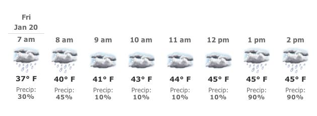
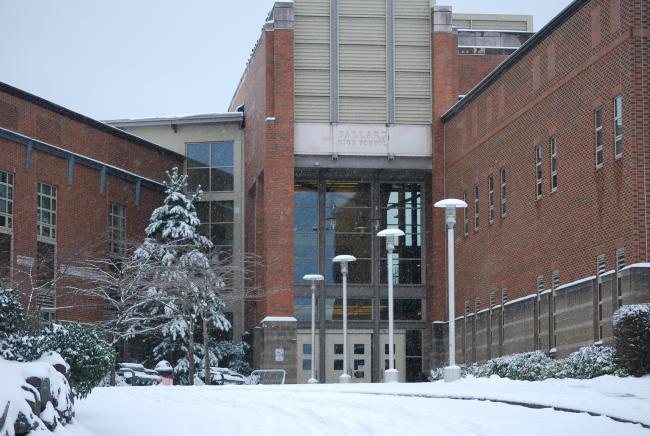
Friday Morning Weather: Snow/rain mix until 10 a.m., and then rain, melting and a flood watch
It appears the region will be able to emerge from the freeze and road crews will be able to clear main arterials of snow and ice later today as temperatures are expected to rise into the lower 40s after 10 a.m.
Road conditions are still hazardous in the morning, so be careful out there.
Here is the latest from the National Weather Service (the following forecast is for Burien and while the report for the rest of the region is similar, you can hit the link and enter your city for more specific information):
Today: Occasional snow and freezing drizzle before 10am, then rain. Snow level 200 feet rising to 3700 feet. High near 40. North northwest wind 5 to 11 mph becoming south southeast. Chance of precipitation is 100%. Little or no ice accumulation expected. Total daytime snow accumulation of less than a half inch possible.
Tonight: Rain. Low around 40. South southeast wind between 14 and 17 mph. Chance of precipitation is 100%.


